Inner Boso Coast(Uchi-bo)(C-6)⭐⭐⭐ ‘21.29th,May
This route is in Area-C “Kanto". See Area-C map/ See Japan map
Sight & Entertainment ⭐⭐⭐
Foods & Drinks ⭐⭐⭐⭐
Easiness ⭐⭐⭐⭐
Road Condition ⭐⭐
Safety ⭐⭐
I’ve already done the cycling in southern Bo-so peninsula, from Tateyama to Katsuura, which had nice cycling road. Then I wanted to examine the northern part of Bo-so coast. It was a strong south wind blowing spring day, so cycling from south to north was easy.
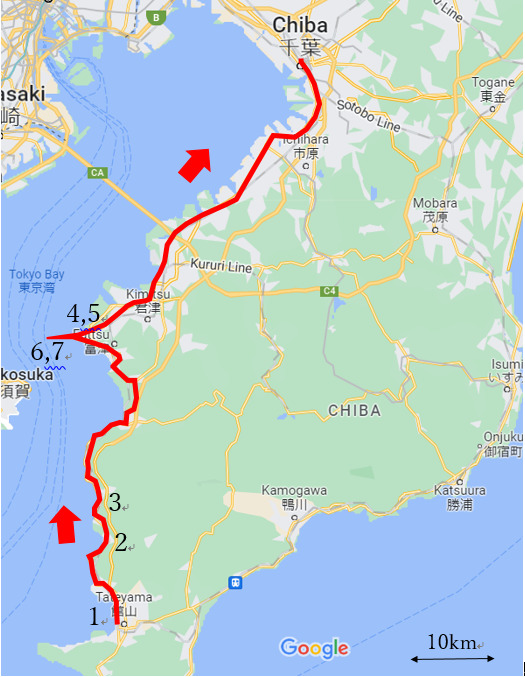
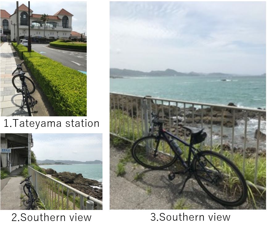
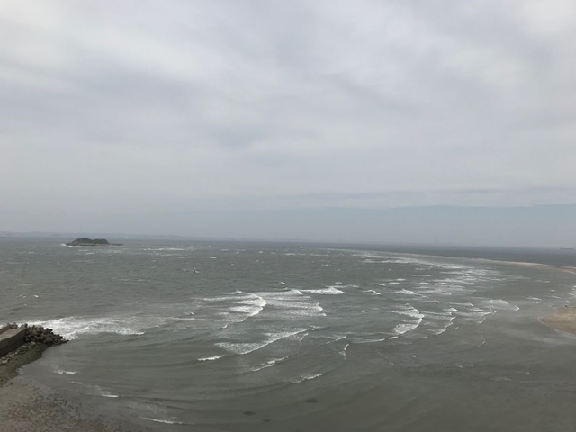
I reached Tateyama station around 9:00AM. Though here is a famous resort city, again I didn’t drop in any spot. Soon the road led me to the shore and it ran along the shore for a while(pic.2,3). There is a steep mountain, “Nokogiri-yama" at 1~2km away from the shore which is a popular spot for cyclists’ hill-climbing. Chiba seems flat area but as I explained in C-14 article, Chiba is still raised by Pacific ocean plate crushing Eurasia, and the age is still young, this area has many cliffs like Nokogiri-yama(Nokogiri means saw). This time, my purpose is to complete Inner Bo-so line, so I didn’t do hill climbing.
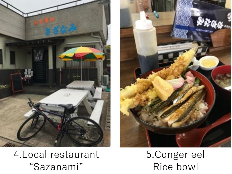
I could see the sea view most of the time and traffic was not so busy, though the width for cycling was not enough. That said, it was a long ride toward my first destination, Futtsu cape. I could reach the restaurant “Sazanami“(pic.4) who served Conger eel rice bowl around 11:30AM. Futtsu city is famous for this Conger eel as well as other sea foods like shellfish, seaweed. Here I could enjoy both tempura of eel and grilled eel in one bowl below 2000yen. They are enough thick and very tasty. I bought dry seaweed as a souvenir.
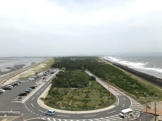
At a few km from Sazanami, there is the cape observatory. As pic.6 shows that right side is south shore of the cape and left side is north shore, the cape is penetrated to the sea and when I climb the tower, I could see 360 degree view, which was scary in such a strong wind day. If the weather is fine, you can see Mt.Fuji at this point.
Now 60km cycling to Chiba station was remained. After crossing the road of Aqua bridge, my road became busy since that was a heavy chemical industrial area. The road became wider but felt danger due to many big trucks. The last 20km was just enduring. I think the suitable area for cycling would be south of Futtsu city.
<Transportation info>
From Tokyo to Tateyama: JR Sobu rapid line to Chiba, then JR Uchibo-line to Tateyama. 2.5hrs, \2,310- *BBBase is running to Tateyama in some seasons.
<Other recommendable spots near my route>
Mother farm: Very famous farm for Tokyo area people
Tateyama city, hot springs : Tateyama is a resort city.
<Connection route>