Sakata to Murakami cycling(B-15)’24.12th,May⭐⭐⭐⭐
This route B-15 is in Area-B. See Area-B map/ See Japan map
Sight & Entertainment ⭐⭐⭐⭐
Food & drinks ⭐⭐⭐ *Up to your plan. Sakata and Murakami has many good foods.
Easiness ⭐⭐⭐⭐ *Up to wind direction..
Road conditions ⭐⭐⭐⭐
Safety ⭐⭐⭐⭐
This is Day-2 of my trip to Akita~Murakami. Usually my day-2 is set short or set toward returning station which is a boring route. But this time, I felt this route was so nice after finishing cycling.
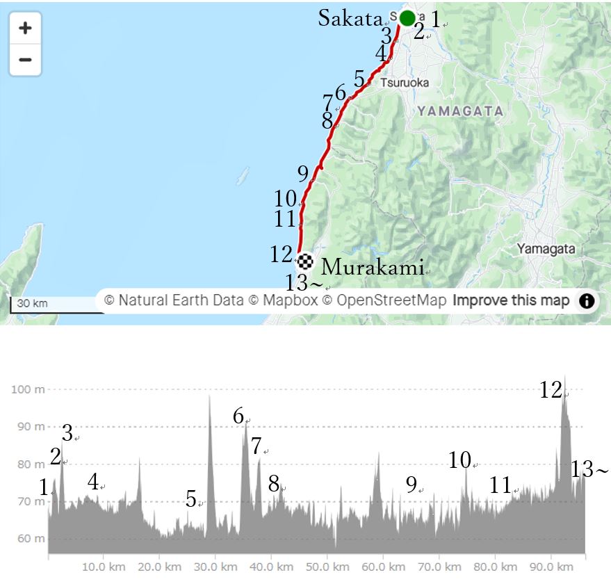
To reach Murakami station before AM11:00, I started from Sakata city at AM5:30. I took this picture just before starting(pic.1).
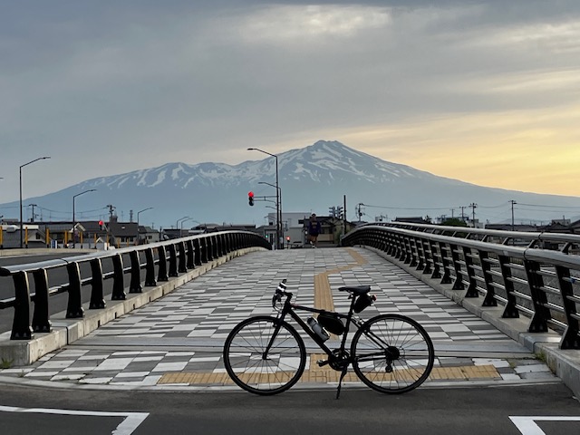
In a few minutes, I crossed Mogami river(pic.2). It was too early to find people on the road(pic.3).
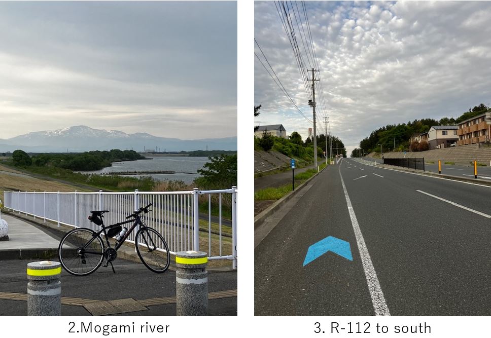
Before coming to the coast line, the road ran in the farm area(pic.4). Still the road was empty and less signals, so it was very comfortable morning cycling. As soon as I reached the coast, the road became sandwiched by coast and cliff(pic.5). But the road condition was not bad.
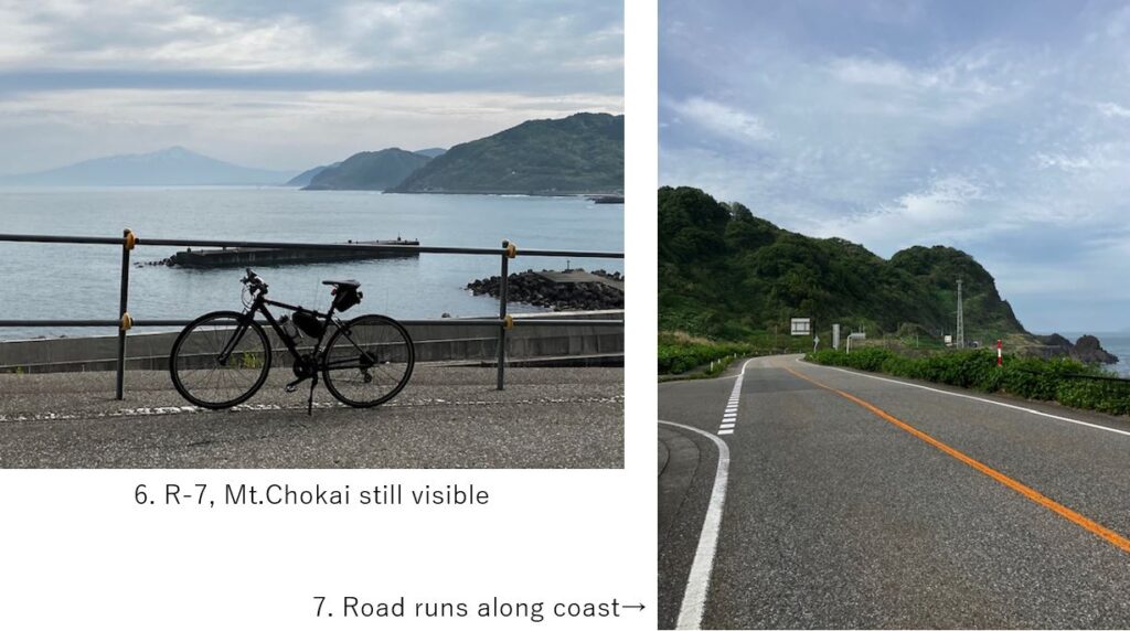
As usual in such terrain, the road repeated up and down whenever it came to the small fishing ports. And the head wind annoyed me to go faster. But sometimes I could see a nice landscape(pic.6), and less cars with less signals along the coast seemed very nice for cyclists(pic.7)
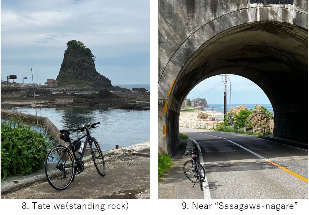
Around 35km from the start, some odd shape rocks appeared(pic.8). I could see such a landscape in South Kii peninsula(ref. my article F-5). And there were many short tunnels and sometimes funny scene could be seen(pic.9).
I saw some foreign cyclists were cycling in opposite lane. I think foreigners have already found this route so nice. I completely agree with their choice.
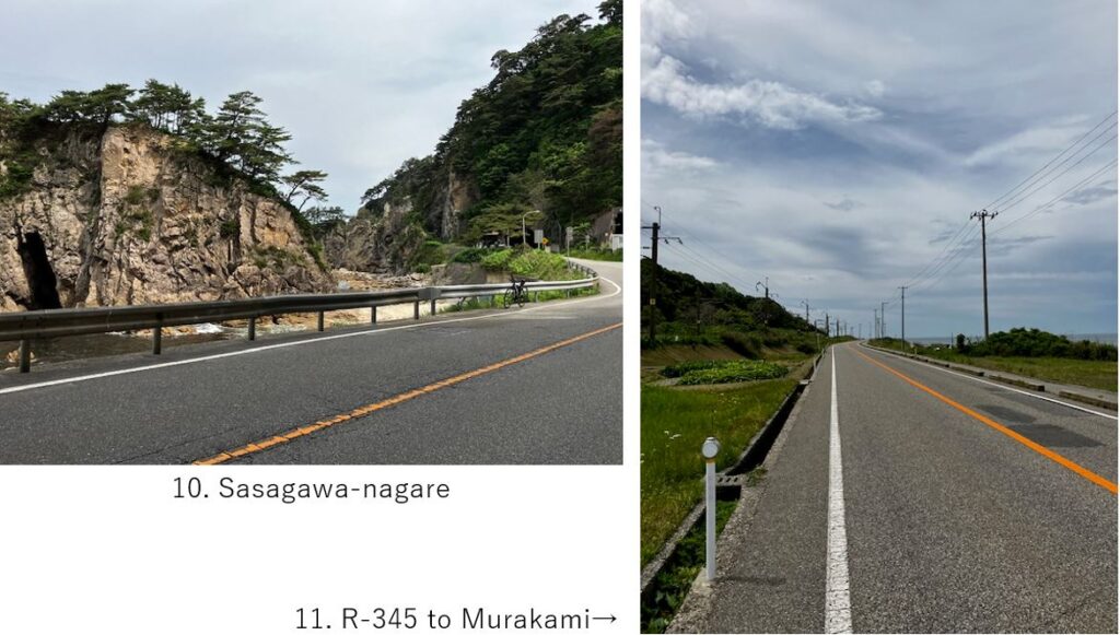
Finally I reached a famous spot, “Sasagawa-nagare“. Odd rock shapes with very clear sea view. Due to continuous head wind, I felt tired and took rest for a while here.
After that point, the steep cliff and odd shape rocks disappeared and relatively flat road lasted long(pic.11).
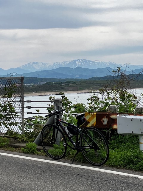
Now it seemed the last hill toward Murakami city. It was tough to climb but the distance was not so long. When I came the hill top, I could see a beautiful mountains shape far away(pic.11). There were many cars in this time, but I could take a picture from opposite lane.
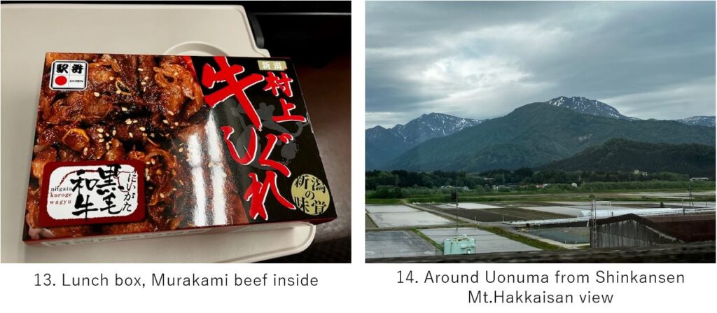
I could reach Murakami station as planned. So I could catch early local train to Niigata and changed my Shinkansen ticket early one. Since Niigata is the starting station, I could get the end seat of Non-reserved car though I changed the ticket so late timing.
During in Niigata Shinkansen, you can enjoy high mountains on the way(pic.14) since it goes through the Fossa magna area.
<Transportation info>
From Murakami to Tokyo: Murakami AM11:27 JR Uetsu line → Niigata PM0:37, \1,166- / Niigata PM1:23 Shinkansen “Toki" No.322 → Tokyo PM3:28 \10,230-
<Connected routes>
B-14: Akita to Sakata cycling
E-7: Murakami salmon