Sanin Coast in Tottori(G-7)⭐⭐⭐ ‘24.20th,July
This route G-7 is in Area-G, “Chugoku". See Area-G map / See Japan map
Signt & Enterttainment ⭐⭐⭐
Food & Drinks ⭐⭐⭐
Easiness ⭐⭐
Road condition ⭐⭐⭐
Safety ⭐⭐ *dangerous in some tunnels in the mountain area
Finally only this western area has remained to achieve my one round of Japan main island. Now the time to ride here using airplane. I’ll write how to use airplane in another page in my blog but from Tokyo it’s very hard to reach this area.
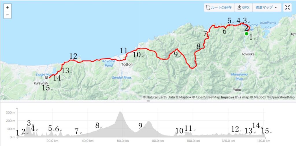
I utilize my Biz trip to Kyoto on Friday. And after sending my Biz luggage to my home in advance, I took the earlist express “Kinosaki No.1" from Kyoto to Kinosaki-Onsen. It seemed very late for my itinerary since it reached Kinosaki-Onsen at AM9:52 and I had to ride over 140km up-down roads.
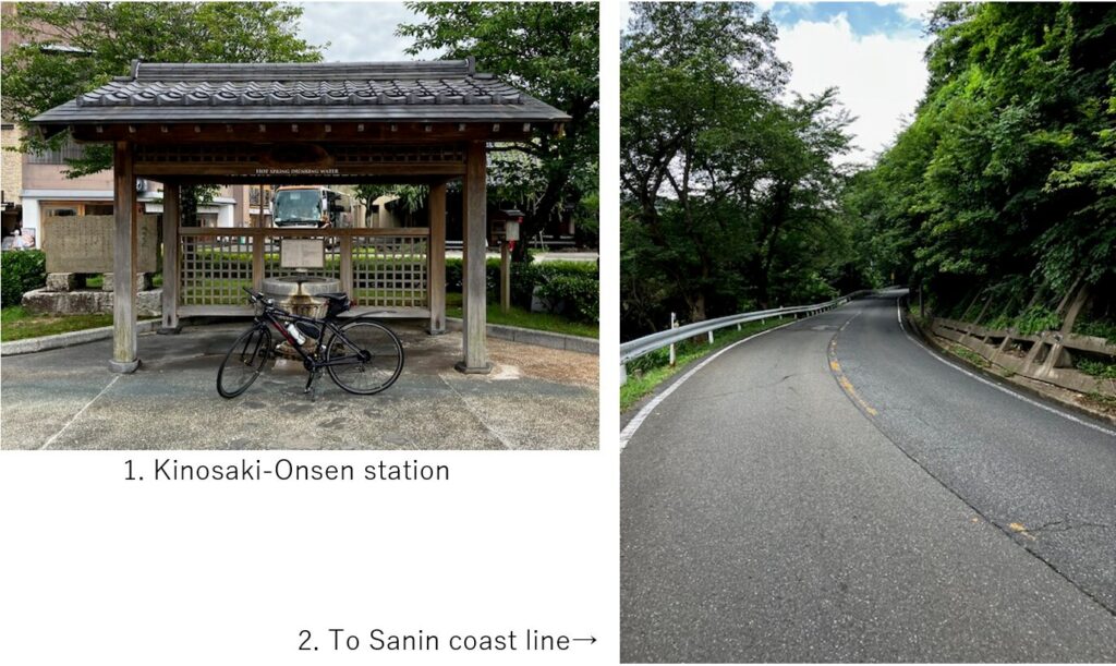
After riding along the river estuary, soon the climbing toward the cliff started(pic.2).
Unexpectedly this up down was a little tough to clear. This area is designated as “Sanin coast geo park" which contains intricated terrain like lias coast(pic.3) and volcano in the past when Japan island departed from Eurasia. That’s why a tough up & down continued until pic.7 point.
Of course the scenes appeared in front of me were intricated and beautiful. But I was exhauseted in the first 40km section due to hot summer temperature and up-downs.
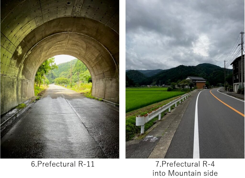
When I reached a small town, Kami, it was already 12:00 and I needed to take lunch there since there seemed no place from there to the deep into mountains. According to the google map info, the prefectural R-4 along the coast from there to Hamasaka was closed in the middle due to maintenance after a land slide. So I had to take detour into mountains(pic.7).
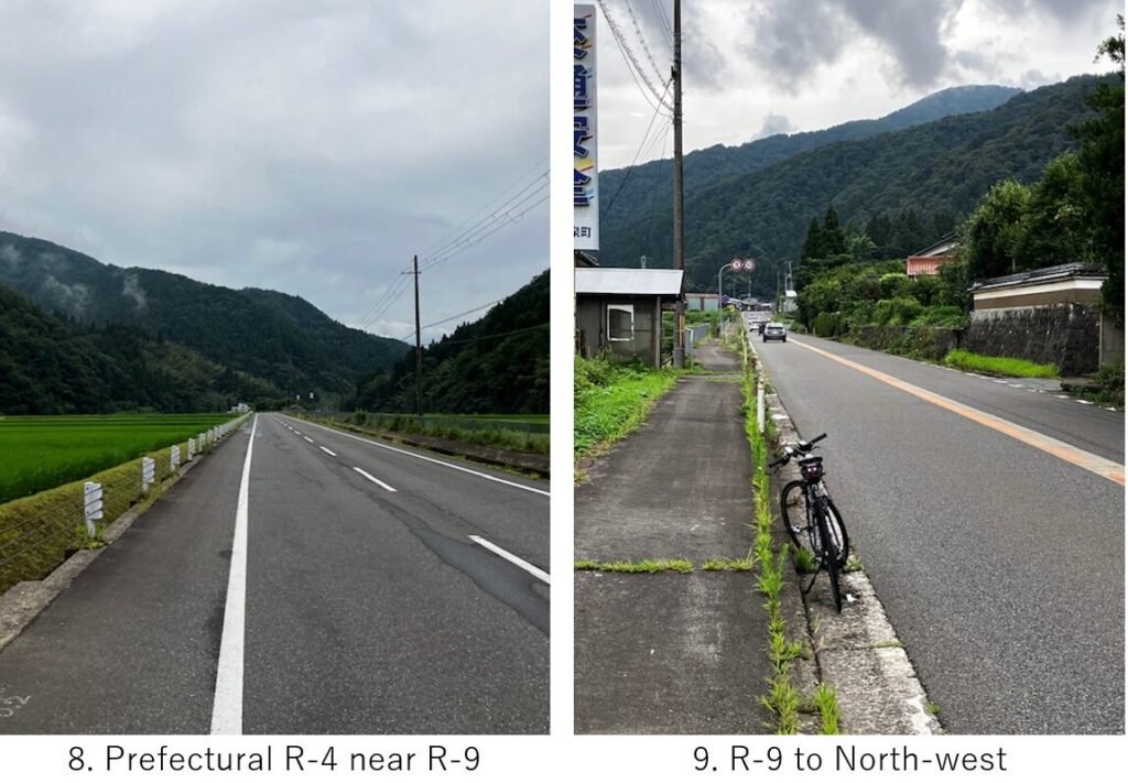
The up hill was not so tough but it seemed a long way since I knew it was a detour(pic.8). When I took the pic.9, the cycle computer showed 70km from the start. Then I knew I came just a half of this trip… It was 2:45PM.
After pic.9 point, there was a long tunnel in the pass and there was no pedestrian way. Since this route was busy, I felt dangerous when some trucks passed by.
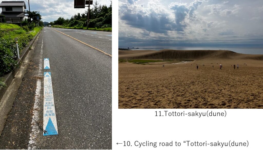
Now I’ve already passed the mountains area and as I came close to Tottori-sakyu(dune), I found signes of cycling road guiding me toward the dune(pic.10). Due to the heat, I don’t remember how the road meandered, but after a short steep climbing, I reached one of my destination, Tottori-sakyu.
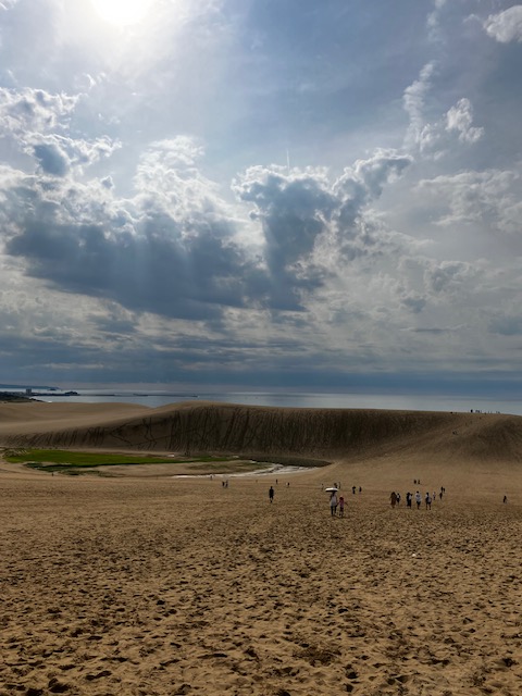
It’s the biggest dune in Japan and there are always many tourists, where I had also wanted to visit. But due to my fatigue and relentless heat, what good was for me to enter into a desert??? I just took a few pics(pic.11) at the entrance of the dune and returned to guest house for cooling down.
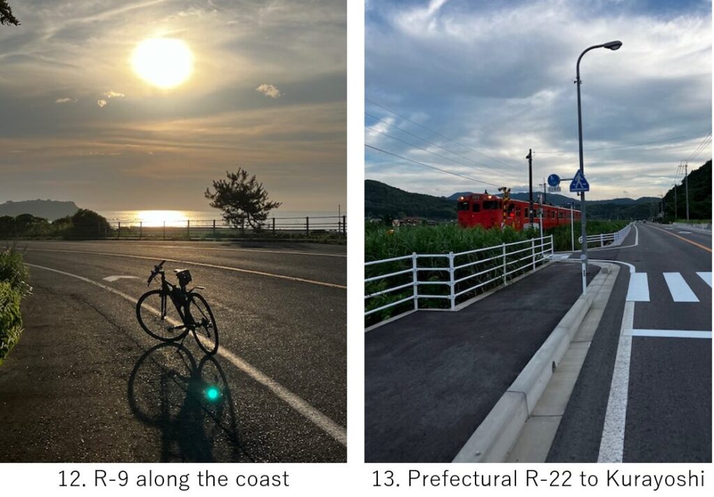
It was already 4:30PM when I resumed cycling. There was little memory from the dune to the coast where I saw a sun set(pic.12). Yes, I remember I took a short rest every 15min in this section.
My hotel was in Kurayoshi city, so I turned toward South-west for the last 10km. Now the heat a little bit calmed and I had a room to take a nice pic with a train(pic.13).
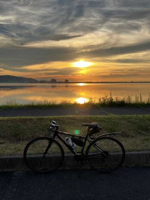
I reached Tougou-pond eariler than my expectation and I could take the final sun set there(pic.14). From there to hotel, it was just a few km and reached at 7:15PM.
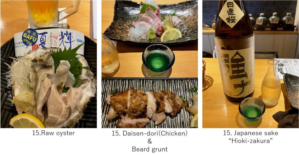
After taking a shower, I went to the city to find a nice restaurant. But to my surprise, most of good ones were fully booked. I barely got one seat for me at ”Ajidokoro-Shin“. As usual I do, I enjoyed the local food like raw oyster and local chiecken, raw fish as well as Japanese sake. To my regret, I was too much exhausted to fully enjoy Sake.
<Transportation info>
From Kyoto to Kinosaki-Onsen : Express Kinosaki No.1, Kyoto AM7:32 → Kinosaki-Onsen AM9:52 \5,370-
<Conncetions routes>
F-7: Amanohashidate to Kinosaki hot spring
G-8: Kurashiki to Yonago