South Boso Youro Valley ride(C-14)⭐⭐⭐ ‘21.3rd,Nov
This route(C-14) is in Area-C “Kanto". See Area-C map/ See Japan map
Sight & Entertainment ⭐⭐⭐
Foods & Drinks ⭐⭐⭐
Easiness ⭐⭐⭐
Road Condition ⭐⭐⭐
Safety ⭐⭐
This time is our company’s cycling team activity. Some members are the beginner of hill climbing, so we chose a moderate hill in the south Boso peninsula, Chiba prefecture. Even many Japanese misunderstand that Chiba doesn’t have mountains but actually has many cliffs. It’s because of plate tectonics. Chiba peninsula is the last developed land in Japan due to pacific ocean plate movement. And around 3 million years ago, as Philippine sea plate changed the moving toward north-west, the edge of Chiba twisted and horizontal wrinkle appeared. So, there are 2 directions cascades which have steep cliffs due to their youth, which make complicated terrain in this area.
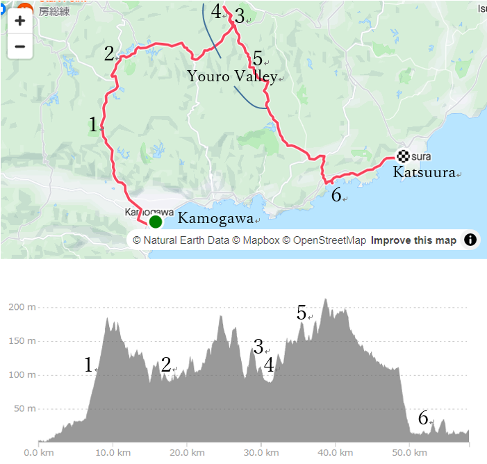
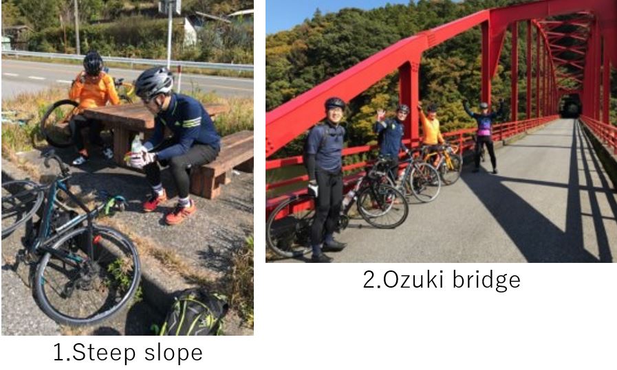
Sorry for long story about Chiba peninsula. Anyway, soon after starting from the Awa-Kamogawa station up-hill started and soon members lost breath(pic.1). But it didn’t last so long, and it became comfortable riding in the mountain(pic.2). As we came close to Youro valley, there appeared many up and down.
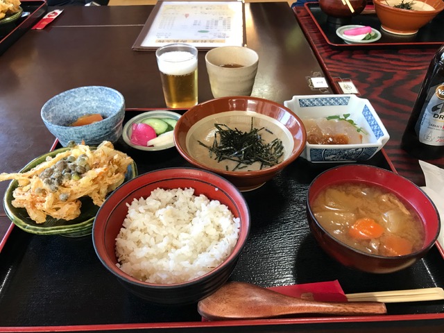
Our original first destination was famous Soba restaurant “Yui", near the valley, but we didn’t know a booking required and actually it was fully booked at 11:30AM when we reached there. So we searched another local cuisine restaurant and found “Kiyoe“. It serves mountain food dishes like Tororo(grinded Japanese yam) on the Mugi-gohan(boiled barley and rice)(pic.3 *the beer in the pic is non-alcohol), wild plants miso soup. It’s the best thing to eat such mountain foods in the midst of hill climbing.
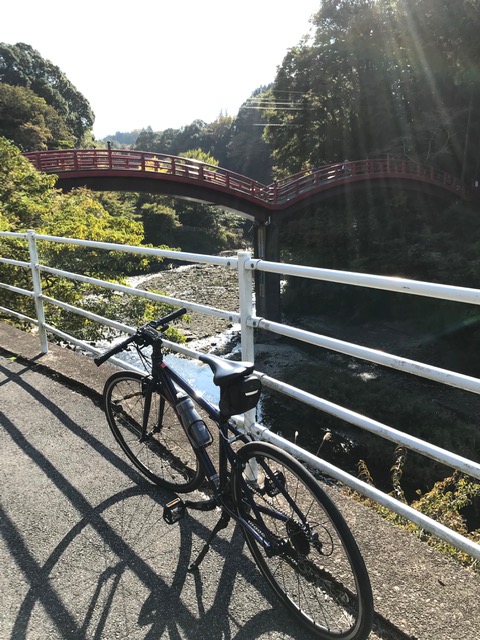
Before heading to Katsuura city, our goal, we dropped in Youro valley entrance to see the valley(pic.4). From this point, the valley runs toward south for 6km and some points have beautiful water falls, so this valley can be a destination to spend a day.
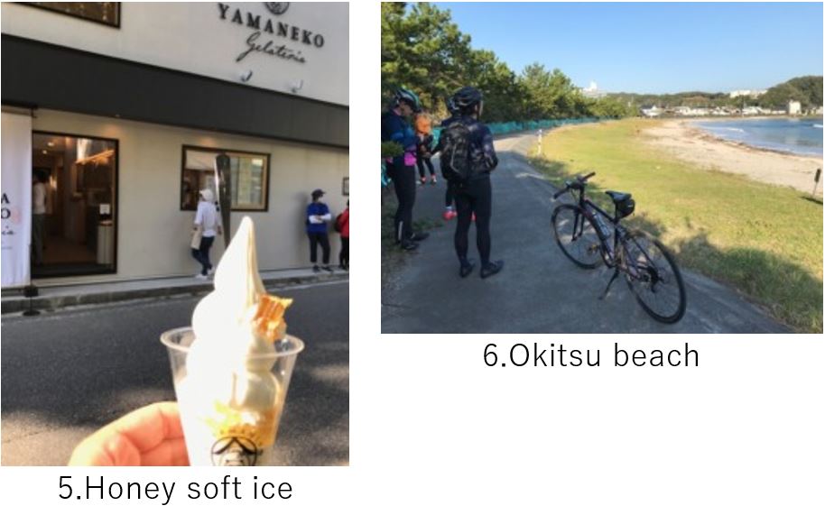
To go down to Katsuura city, we still had to hill climb for 6km but there was a nice gelato shop, Yamaneko which served soft ice with a piece of honeycomb. After the hill top, 10km of downhill in the forest was very cool and comfortable. When we reached Okitsu beach(pic.6), the goal was within 8km. From this point, we should take a normal road with some tunnels. And sometimes a big tracks passed by. So pls take care when you ride the coast road near Katsuura city.
We reached the city around 4:00PM but most of restaurants opens after 5:00PM. Other members book a cycle train(B.B.Base) at 5:39PM, and only I took a local train to my home, so we gave up eating a fresh fish cuisine there this time and broke up.
<Transportation info>
From Tokyo to Kamogawa station: Using B.B.Base(around \6,000- for round trip) is convenient but its seasonal. If you take a normal train, it will take around 3 hours (around \2,300-)
From Katsuura to Tokyo: Other than B.B.Base, normal train takes 2hrs(around \2,000-)
<Other recommendable spots near my route>
Katsuura city’s cuisine (Bonito, other raw fishes, etc..), Pls refer to my C-11 article
<Connected route>