Kirigamine hill climbing(E-9)⭐⭐⭐⭐ ‘24.8th,June
This route E-9 is in Area-E,"Chubu-Hokuriku", See Area-E map/ See Japan map
Sights & Entertainment ⭐⭐⭐⭐⭐
Food & Drinks ⭐⭐⭐ *Up to your plan. This area has many good agricutural foods.
Easiness ⭐⭐⭐
Road condition ⭐⭐⭐
Safety ⭐⭐⭐
I knew “Kirigamine“, the route in a beautiful plateau well since I drove there with my family in many years ago. So it was a long dream to cycle there since I started cycling. The time came suddenly when I saw the weather forecast showing good weather in the morning on 7th, June. It was Friday and my work was not so busy. I decided to carry my bike to Chino city, the foot of that plateau in the evening. Soon I booked a hotel, express tickets and left my home at 3:00PM on 7th.
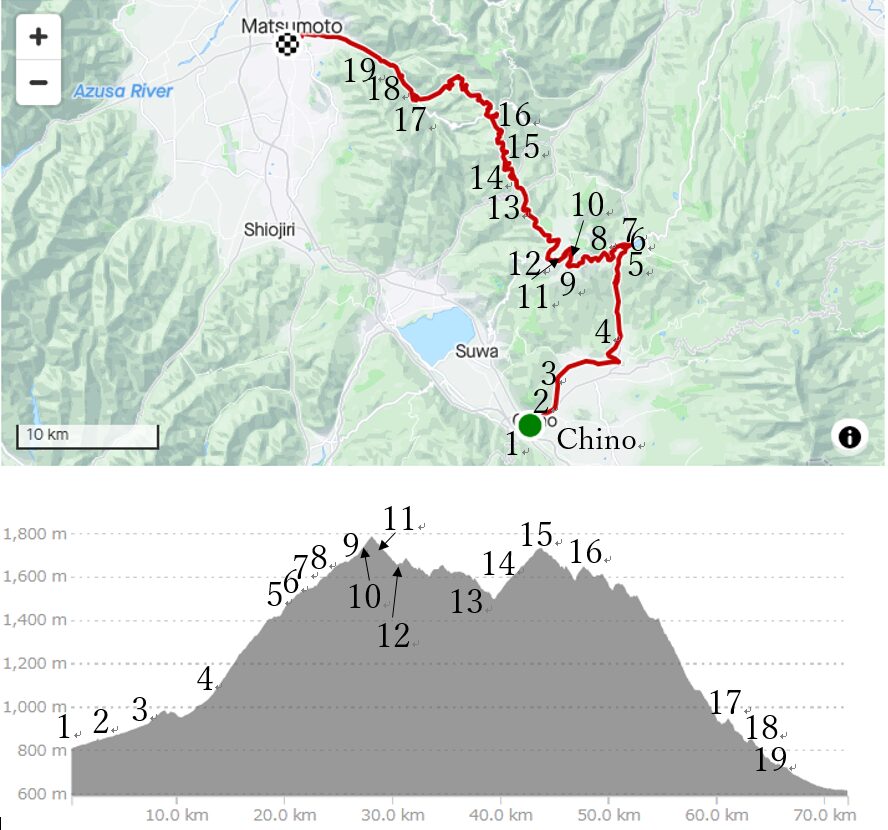
I reached Chino station by an limited express, “Azusa" at PM7:10. Soon after checking in the hotel near the station, I went to a Soba(buckwheat noodle) restaurant, “Shinshu soba to sakana, Sarashina“, to enjoy this area’s famous Soba and agricultural foods. Shinshu soba is very famous in Japan since this inland, surrounded by mountains cool area is very suitable for cultivating soba.
I ordered raw horsemeat which was also a local specialty, vegetable tempura and of course Sake before ordering Soba. It was a casual restaurant which closed at 8:30PM but it was enough for me because I had to start at AM5:00 on 8th to reach my home by 3:00PM.
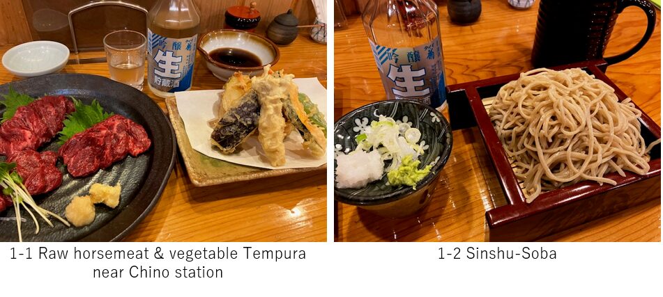
I woke up at 4:00AM. It had already started dawning. Unlike Tokyo area, the temperature there was 12C even in June. Soon after I started before AM5:00, the sun rose. There was few cars on the road, but I felt it gradually climbing toward the plateau. To keep my energy, I slowly climbed the road.
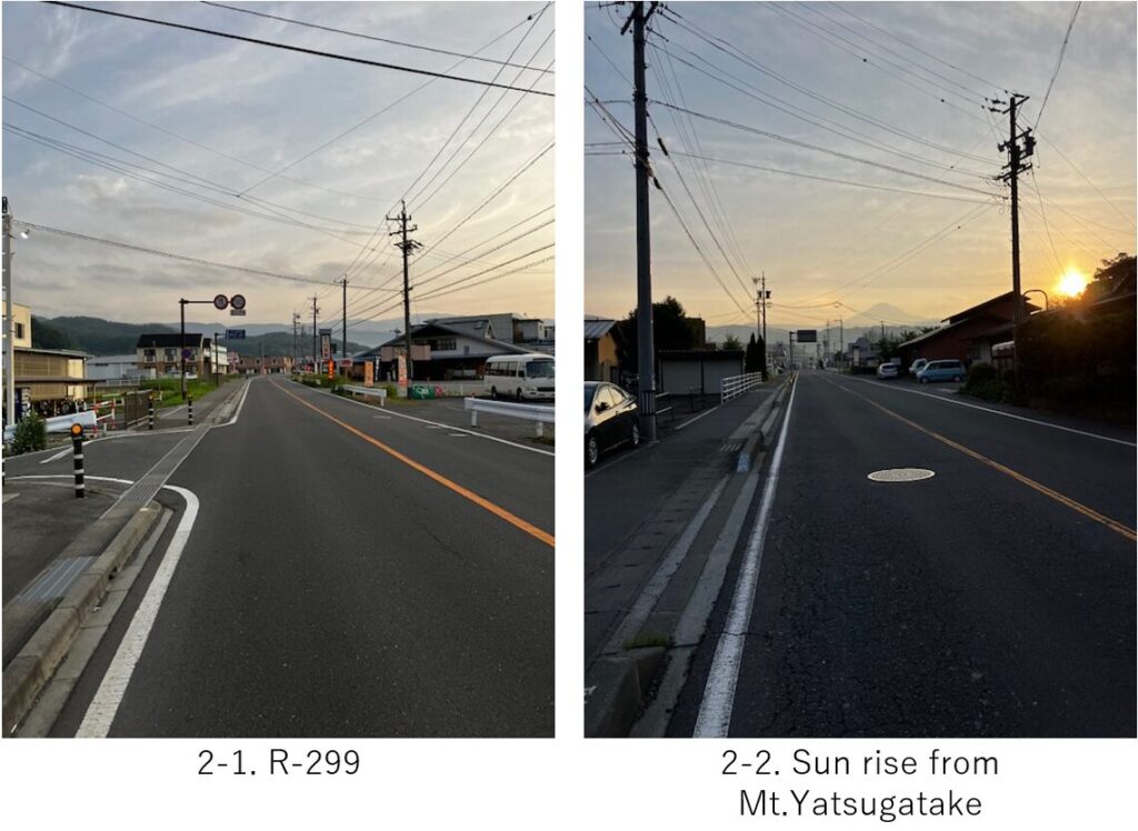
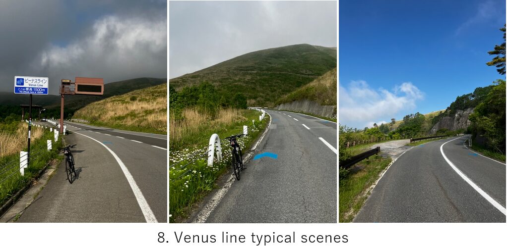
Within 5km, I found the Venus line which showed us a beautiful scene in the plateau appeared on the left hand side(pic.3). Then the road became better and when I came to 10km point from the start, the hill climbing started. The endless up hill in the mountain continued for 10km(pic.4) but slope seemed not so steep, around 5-8 degree average. Since the time was still around AM6:00, very few cars passed by. Maybe in a high season like early July, there will be many cars which will annoy cyclists, though I don’t recommend that season since it’s still in a rainy season.

Just 20km from Chino station, I reached Lake Shirakaba(pic.5). I knew the real beautiful road started here and also knew the gas arising in the later monring, so I hurried toward top hill of the plateau(pic.6).
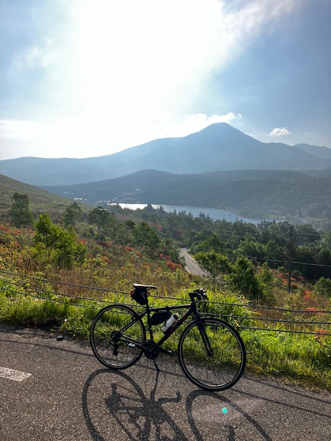
Finally I was on the real Venus line on a plateau(pic.7). It was nice view of lake and Mt.Tateshina with azalea.
It became cloudy but rather it was comfortable to cycle in a cloud. As I reached at 1600m height, the view gradually became clear.
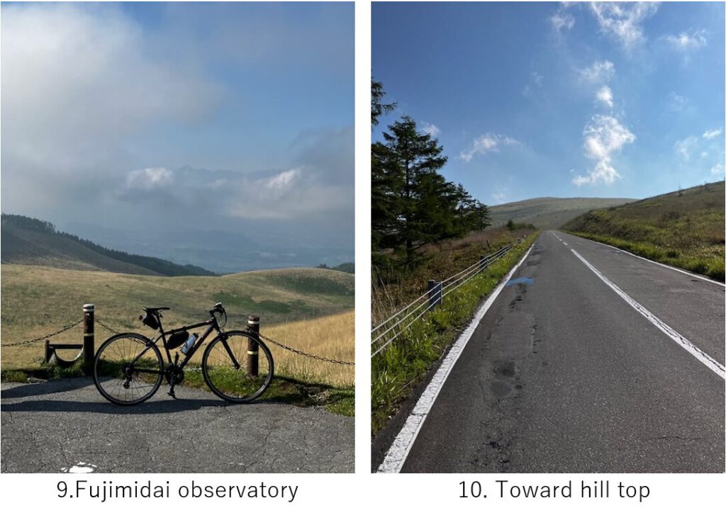
There was a observatory area around 1700m height(pic.9) from which I could see South Alps mountains. If the weather is much clearer, you can see Mt.Fuji in left side of the alps. There was a straight up hill near the observatory(pic.10) , which was the last steep slope toward the top of the plateau.
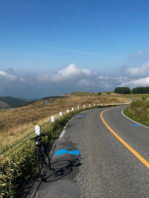
After passing the hill top, there was a very comfy, nice view road appeared in front of me for a few km(pic.11-1). This area is the highlight of Kirigamine.
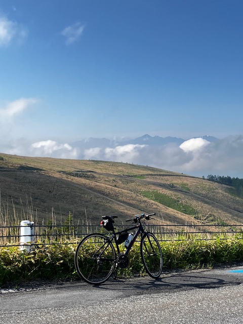
Of course, South Alps can be seen on the left hand side(pic.11-2).
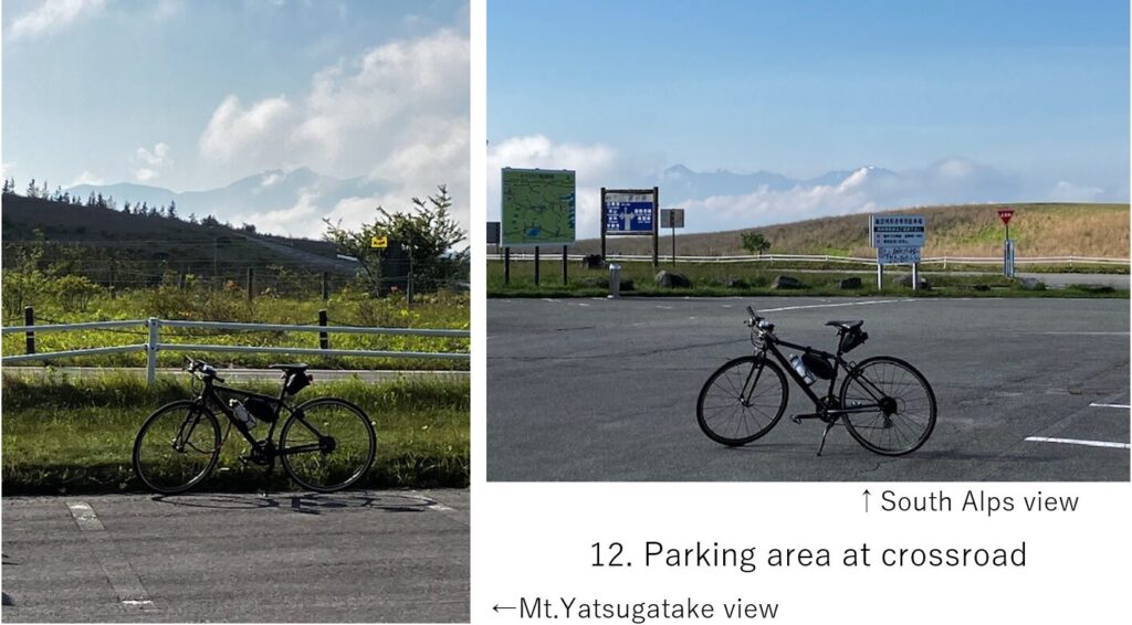
Now I reached a parking area which was the crossroad of Venus line going toward inner plateau and the line going down to Lake Suwa(pic.12). Since it was still AM7:30, very few cars and motor bikes were there, and shops were closed.
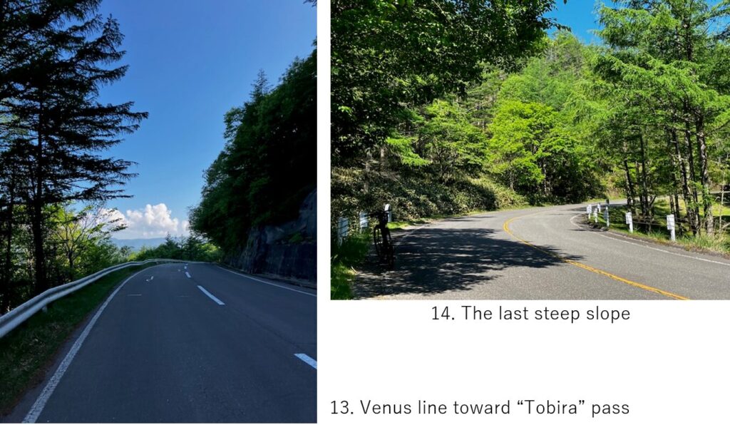
My goal was Matsumoto city, so I went to inner side of the plateau. As I imagined, the plateau sight disappeared and relatively dull down hill without high mountain views continuerd(pic.13). Then again 5km hill climbing started suddenly(pic.14). It was much steeper than the first climbing so I felt tired for the first time in this cycling.
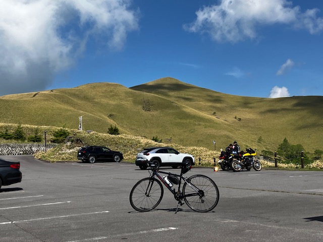
I seemed to reach the final hill top, Mitsumine observatry(pic.15) at AM8:30. There seemed only down hill to Matsumoto city and my train’s departure was AM11:06, I decided to rest long here.
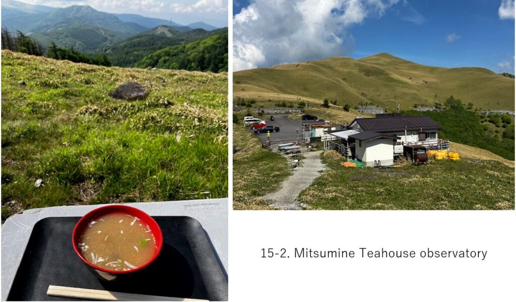
The teahouse had opened so I ordered mushroom miso soup which can be enjoyed in the mountain area(pic.15-2) and also roaming around the observatory, though I could not see high mountains.
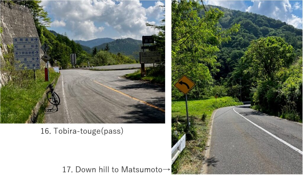
Basically it was down hill after the teahouse but before reaching Tobira touge(pass)(pic.16) which is the crossroad toward Matsumoto city, there was a small hill climbing which annoyed me.
From that pass, a steep down hill lasted long. I should focus on steering my bike for over 10km. I think climbing from Matsumoto city was much tougher than my route direction.
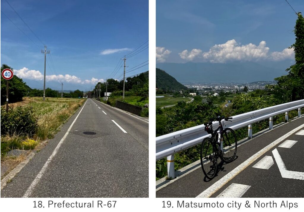
After 20km from down hill starting, I came to populated woodland area(pic.18). As the city view looming, the North Alps was also looming(pic.19) though its top was covered by clouds unfortunately.
When I completely came down to Matsumoto city, there were many cars on a narrow roads but only for a few km. I reached Matsumoto station as I planned, at AM10:00.
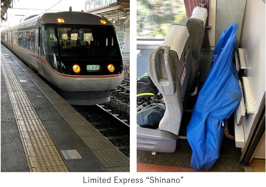
This time I used express Shinano to return to Tokyo via Nagano station. Express “Azusa" will bring you to Shinjuku directly but to my home, either way was same. I could reach my home at PM2:30.
<Transportation info>
From Tokyo to Chino(my case): Shinjuku PM5:00 “Azusa No.41" → Chino PM7:10, \5,650-
From Matsumoto to Tokyo(my case): Matsumoto AM11:06 “Shinano No.5”→Nagano AM11:59 \2,370-. Nagano PM0:26 “Hakutaka No.560" → Ueno PM1:46, \7,600-
<Other recommendable spots near my route>
Utsukushigahara(a plateau inner side of Kirigamine)
Lake Suwa with cycling road
<Connection routes>
E-8: Fossa magna cycling
E-13: Kamikochi hill climbing