S-15 Musashino cycling
This route S-15 is in Area-S “Short trips". See Area-S map/ See Japan map
May is a good seasn for cycling but I couldn’t go cycling in ’25. So even though I was tired by long Biz trip to overseas, I utilized a chance of cycling on 1st June Sunday, just before rainy season starting. Just one day is suitable for cycling nearby. So I decided to visit West side of Saitama prefecture, dubbed as “Musashino" which is now an important agricultural area in Tokyo area but has been a stronghold in feudal and civil war era for many samurai classes to expand or keep their territories. So there were many historical stories with ruins in this area, most of which are miserable.
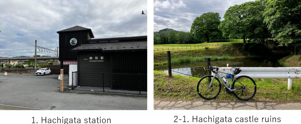
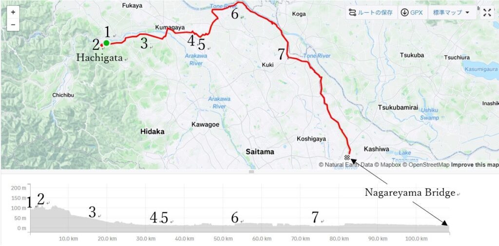
My plan was to start from Hachigata, East edge of Chichibu mountains and to return to my home by cycling for 120km. The reason I chose Hachigata was I sympathized with the ancient lord of Hachigata castle, Ujikuni Hojo who was destined to become an adoptive of the previous lord who had been conquered by his family in Odawara, South Kanto area. He struggled to cope with stress caused by opposing people as well as many enemies coming from North or West because the place was a stronghold. And finally due to lack of his original Odawara family’s mismanagement, he succumbed to Hideyoshi who unified Japan for the first time. I read the story recently and I wanted to visit the ruin.
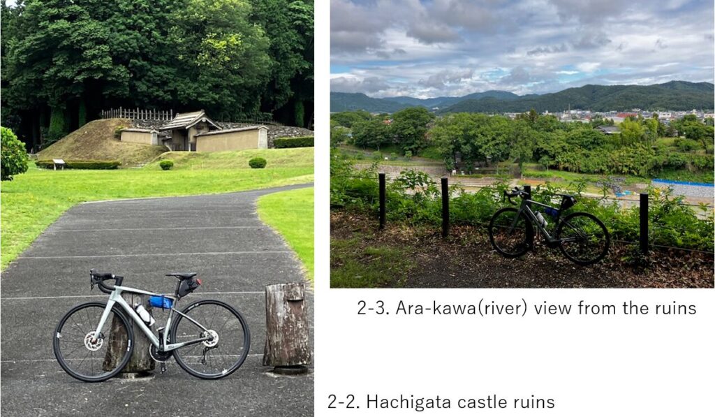
Once I stood inside the castle ruins, I could imagine how this place was suitable for protecting Kanto plane from those enemies from North. A rugged river, Arakawa flows below my eye(pic.2-3), And from this point, a gentle down hill toward Kanto plane continues to Eas(pic.3). I pondered over the ancient war period for a while there.
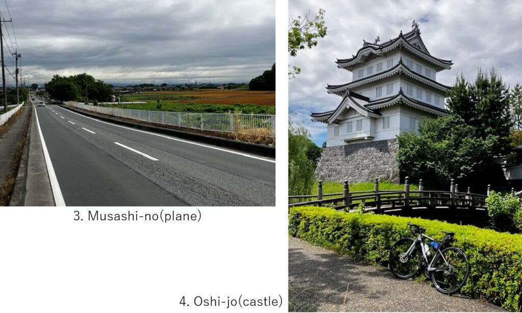
The next point was Oshi-jo(castle), in Gyota city in the middle of paddy field area. This castle also has a same destiny with Hachigata castle in the same war but its falling story was very famous now thanks to a movie “Nobo-no-shiro" taken in 2012. It’s interesting that such a castle was stangin in a flat area but maintaining its strength for long period.
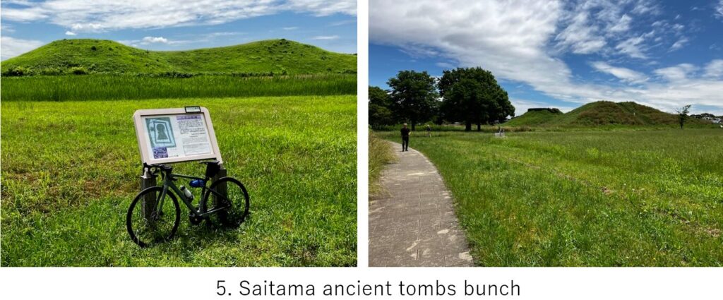
And within a few km, there is a park of Saitama prefecture’s ancient tombs bunch.(pic.5). Actually there are several ancient big tombs for the then lords. One of them is the biggest one in East Japan area with the shape of key-hole, which means that lord was accepted as a subsidiary of Japan central governer, Yamato dynasty and also means this area thrived from the past.
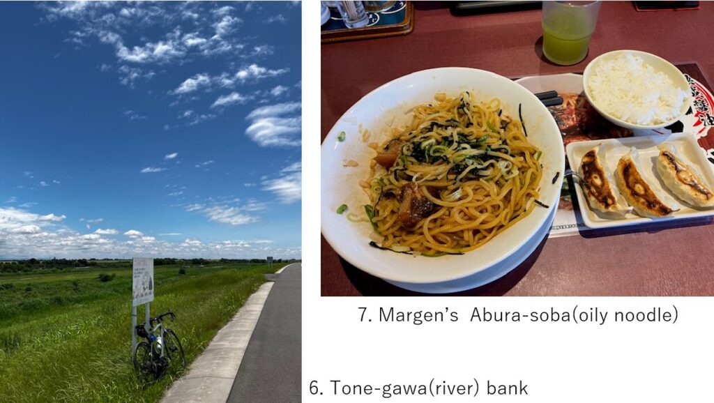
After the tombs, what I should do is just cycle for a long distance along Tone river and Edo river(ref. my article S-3) . This West side section of Tone river cycling was my first experience. Some portion was under repairing of banks but most of other parts were well paved(pic.6).
Before coming to the watershed point of Tone river and Edo river, I turned right toward Gongen bank(ref. my article S-11) and take a lunch at Abura soba chain restaurant, Marugen(pic.7). Still around 40km was remaining after lunch along Edo river. Since it was warm on that day, South wind was blowing. Even though it was slite wind, I felt tired because it was after for a while.
<Transportation info>
From Tokyo to Hachigata: Taking “Tobu-tojo-line" from Ikebukuro station and change train at Ogawa-cho station, 4th station after Ogawa station is the “Hachigata". \911- 1hr40min
<Other spots near my route>
Gyota paddy art: my article S-12
Chichibu city: my article C-16