Mt.Tanigawa hill climbing(C-20)⭐⭐⭐ ‘24.23rd,Sep.
This route C-20 is in Area-C, “Kanto". See Area-C map/ See Japan map
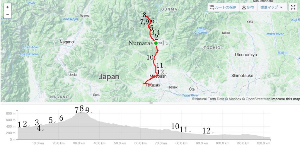
Sight & Entertainment ⭐⭐⭐⭐ *Up to your plan. There is a hot spring town along the route.
Food & Drinks NA *Up to your plan
Easiness ⭐⭐⭐
Road condition ⭐⭐⭐ *Except for Tone river cycling road
Safety ⭐⭐
There are 3-day-holidays in Sep in Japan but unfortunately the typhoon hit in the early 2 days and I didn’t have anything to do. But I had noticed the last day would be fine according to the forecast. So I immediately planned a half day cycling trip to Northern Kanto area.
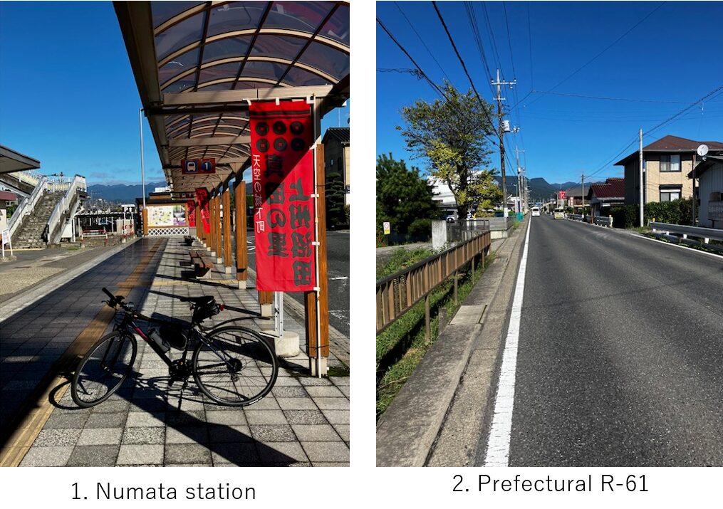
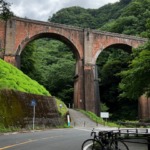
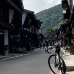
Cycling to Mt.Tanigawa was a long cherished plan for me since we can see the majestic view at the foot of the mountain and the location is relatively close to Tokyo area. I took the first train (AM4:42) at my home town and by using bullet train from Omiya station to Takasaki, I reached my starting point, Numata station(pic.1) at AM8:01. To make today’s distance around 100~120km, Numata is the suitable starting point to enjoy hill climbing as well.
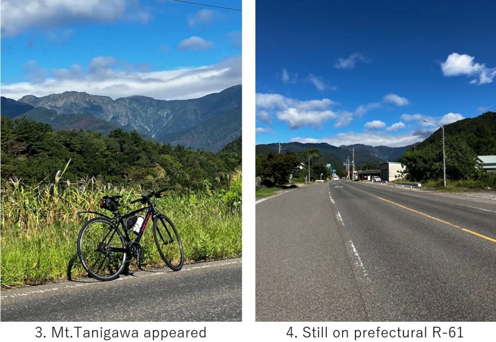
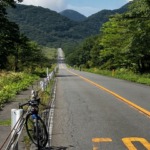
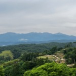
Within 10km along the prefectural R-61 toward mountain, Mt.Tanigawa appeared on the left side(pic.3). The road was not steep and unexpectedly relatively wide(pic.4).
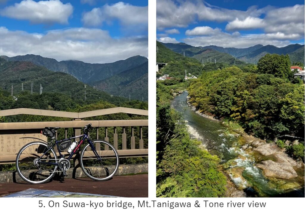
I reached the first view point, Suwa-kyo bridge from which Mt. Tanigawa could be seen in front(pic.5). There is a famous hot spring town, Minakami near this bridge. To fully enjoy this area, soaking in this hot spring will be must.
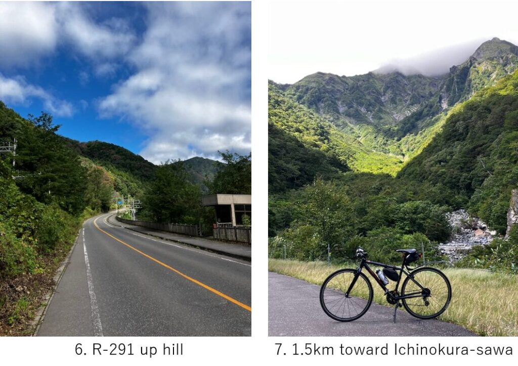
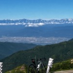
But I had to hurry toward the end of road, Ichinokura-sawa. After passing Minakami town, gradually the slope became steep(pic.6). Finally R-291 led me to the Tanigawa rope way station. You can reach a high hill top and can watch a majestic view of Mt.Tanigawa closely by using the ropeway. Especially the autumn leaf season is best though the place will be crowded with many tourists.
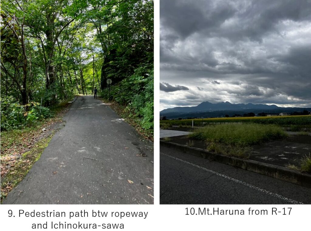
The slope was steepest around the ropeway station. It seemed around 10-15 degree for a few hunderd meters. But after rope way station, the road into the forests became only for pedestrians and cyclists. So around 2km after the steep slope toward the final spot was a very comfortablly shaded road(pic.9).

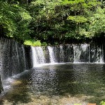
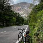
Finally I reached the final and closest spot of Mt.Tanigawa(pic.8), Ichinokura-sawa. I was mesmerized by the overwhelming cliff. The water running among rocks, which is called “sawa", a mountain stream, was so clean and cold.
After 15min rest at the sawa, I started returing toward Numata. The time was AM10:15. But soon after my starting, the cloud shrouded the top of Mt.Tanigawa… I was so lucky. And when I came back to Numata, it started raining. To avoid rain cloud coming from North, I had to hurry up toward South.
I had to touch Maebashi city and Annaka station to connect my all routes (ref. my article C-17 and E-11 ), so my route this time was a little odd. After passing Numata, I cycled downward along the Tone river for 20km and I found a cycling road along the river from Shibukawa city(pic.11).
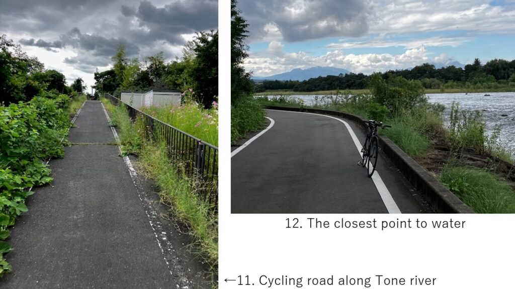
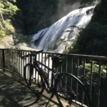
The cycling road was nice to take me to Maebashi city without any signals and cars passing by, though there were only few places you can see the river(pic.12). Normally you can stop cycling at Maebashi station but I passed the city and headed to Annaka station. As I wrote in my article E-11, the last time when I cycled from Karuizawa, my tire punctured near that station and I had to terminate there.
The rain became strong just 1km behind Annaka station, so I finally wore a rain coat. But due to that time loss, I just missed the train which comes once in an hour. So I decided to cycle toward Takasaki city for additional 10km because I didn’t want to waste time Annaka for 1 hour. Thanks to that decision, I could reach my home before PM5:00.
<Transportation info>
From Tokyo to Numata: Tokyo station AM6:08 Joetsu shinkansen “Toki" 301 → AM6:57 Takasaki, Takasaki station AM7:11, JR Joetsu line toward Minakami → AM8:01 Numata, TTL \5,150-
<Other recommendable spots near my route>
Mt.Haruna for hill climbing
<Connected routes>
C-17: Gunma to Tochigi cycling
C-21: Mt.Haruna hill climbing
E-11: Usui pass down hill



ディスカッション
コメント一覧
まだ、コメントがありません