Shiga plateau highest road cycling(E-15)⭐⭐⭐⭐ ‘25.20th,July
This route E-15 is in Area-E, “Chubu-hokuriku". See Area-E map/ See Japan map
Sight & Entertainment ⭐⭐⭐⭐⭐
Food & Drinks N/A
Easiness ⭐⭐
Road condition ⭐⭐⭐ *Down hill to Nagano was not good
Safety ⭐⭐
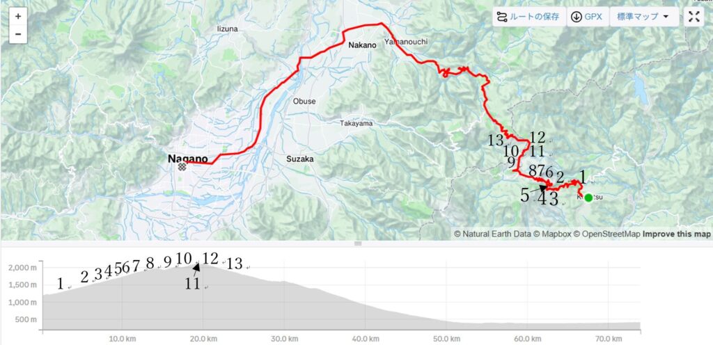
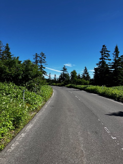
I woke up at AM5:00. The weather seemed very nice. I could expect a good ride and taking a nice pics. Soon after starting at AM6:00, hill climbing started into the forest(pic.1). After 40min, the forest became sparse(pic.2). The sunshine was getting harsh.
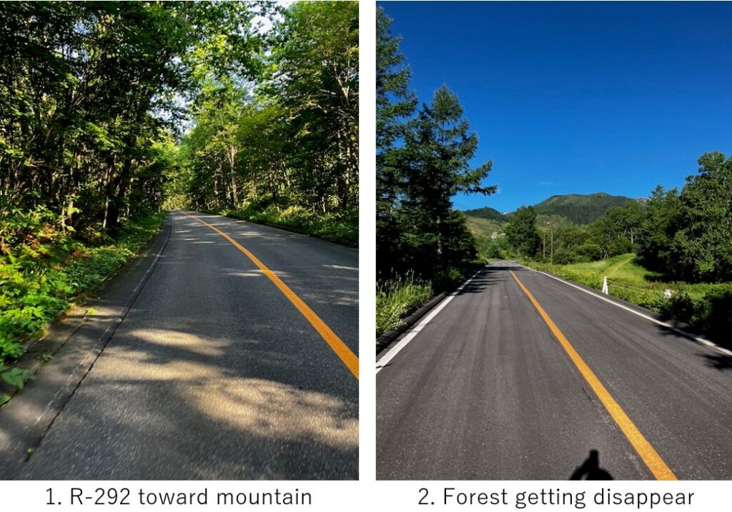
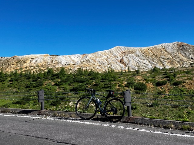
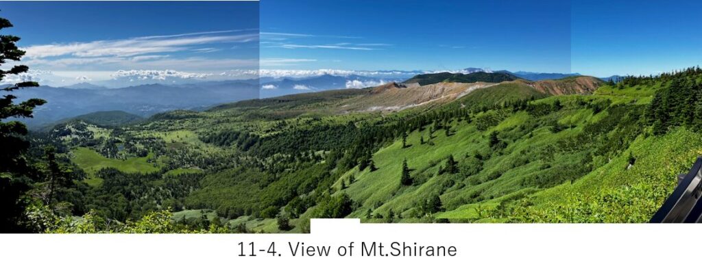
Within 8km from the start, a bare mountain slope appeared. It was an old crater where sulpur smelled. The opposite was a nice view of mountains far away(pic.3).
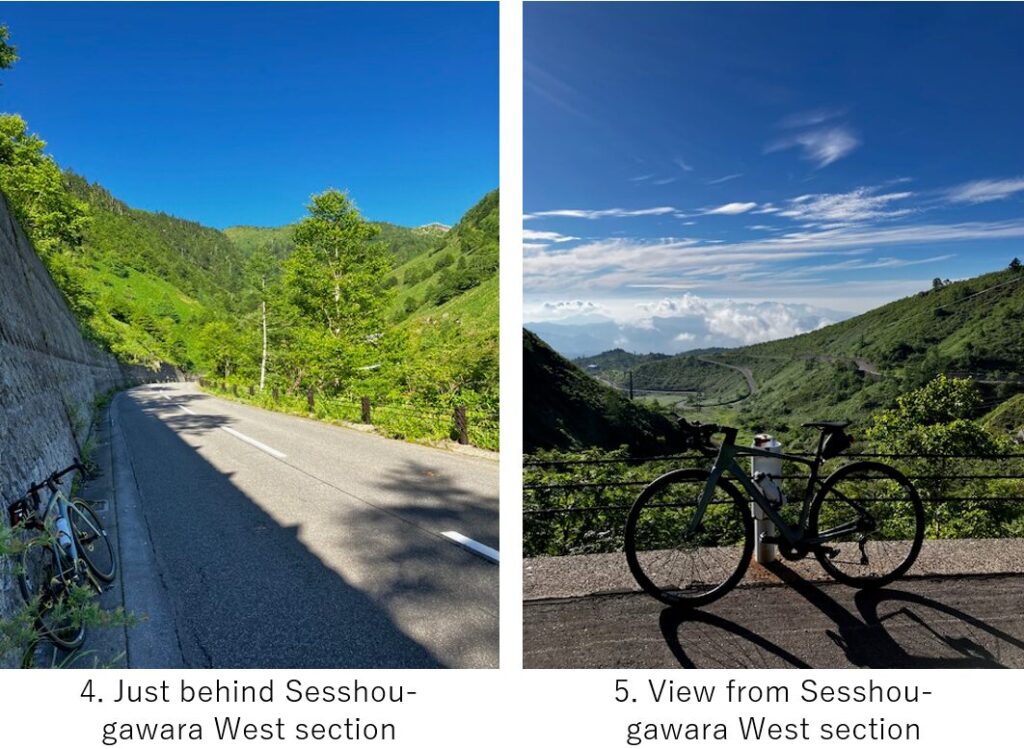
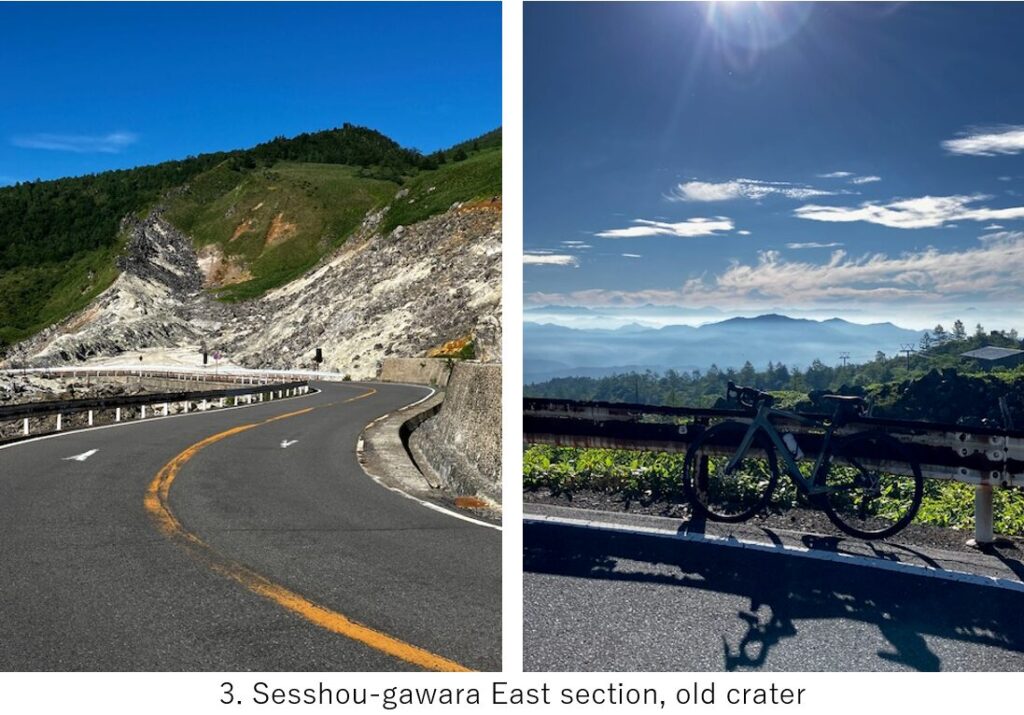
The altitude already surpassed 1600m and I could feel cool air but the sunshine was harsh, so I put off underware here, in a small shade (pic.4). The average angle of slope seemed 6-7 degree but the sights which can be seen at every corner of the slope were nice. I could see meandering route which I climbed up far away(pic.5).
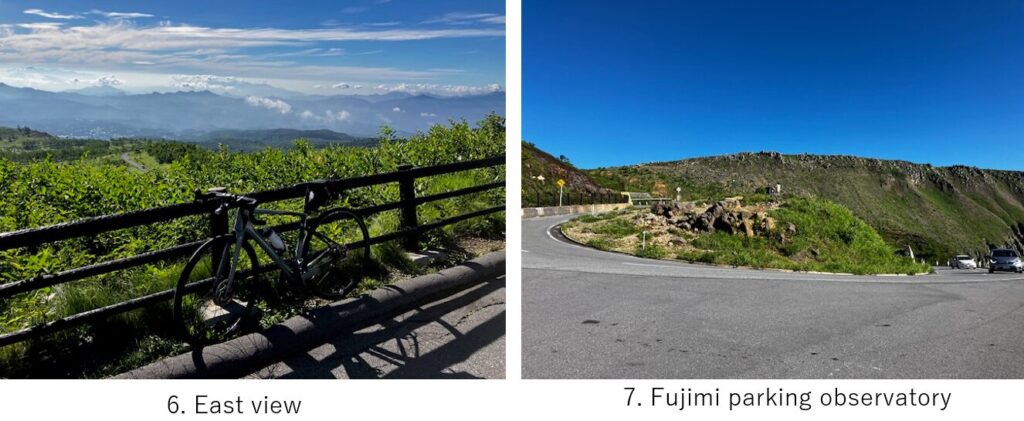
The trees became more sparse. When I came to Fujimi parking observatory(pic.7), the bare ridge of Mt.Shirane could clearly be seen. From this point, the slope seemed a little gentle.
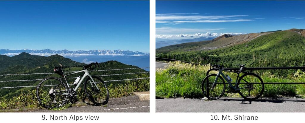
Since Mt.Shirane is living volcano, as I came close to the crater, announcement of caution could be heard and some ”No entry" boards also could be seen. From the pic.8 point, the road went to opposite hillside, west hillside. So finally my coveted landscape, North Alps mountains view appeared(pic.9).
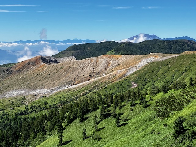
The hill top seemed near. Seeing the crater of Mt. Shirane from the opposite side, I climbed up the final slope then reached the highest point of Japanese narional roads.
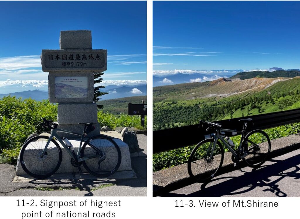
Now the time was AM8:30 but there were many cars and motorbikes at the point of 2172M height.
The temperature was around 20C and the contrast of green, blue and crater brown was very nice.
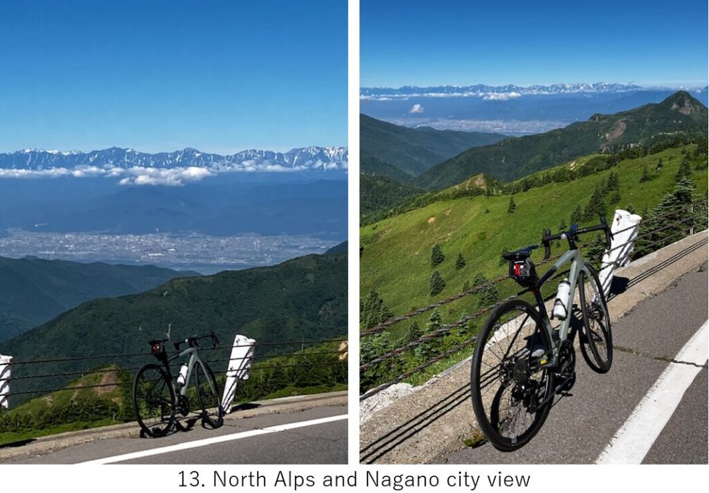
Now easy down hill started(pic.12). Soon after starting, a nice collaboration of green, North alps and Nagano city appeared(pic.13). It was the best pic in this trip.
If I took the opposite route, the accumulated altitude should have been over 1700M but it was 1100M from Kusatsu town (plus 1500M from Karuizawa to Kusatsu yesterday). To enjoy hot spring as well, I recommend my route.
But the down hill was a little dangerous since the slope was steep. The rear wheel once slipped at a corner and went over the lane. Luckly there was no car coming from opposite lane at that time. And the road at lower altitude was rough. Further more, too long down hill made my fingers numb.
I barely cleared the long down hill then next enemy was heat. Still I had to cycle for 20km to Nagano station in very hot air, without any nice view. It was too boring and I had to take care for many cars. I could get on board the AM11:12 Shinkansen to Tokyo.
<Transportation info>
From Nagano to Tokyo: AM11:12 Kagayaki No.508 ⇒ PM12:30 at Ueno station, \7,800-
<Connected routes>
E-10: Chikuma river cycling
E-12: Shinano river cycling