UFO line cycling(H-3)⭐⭐⭐⭐ ‘26.22nd,Sep.
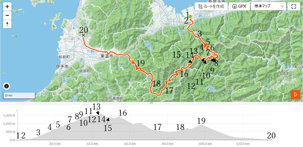
This route H-3 is Area-H “Shikoku". See Area-H map/ See Japan map
Sight & Entertainment ⭐⭐⭐⭐⭐
Food & Drinks ⭐⭐⭐ *Up to your plan. I couldn’t enjoy due to fatigue…
Easiness ⭐
Road condition ⭐⭐
Safety ⭐⭐⭐
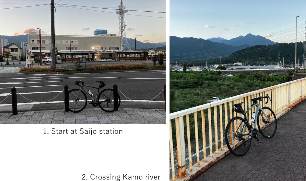
After 4 times cancellation due to bad weather, finally my challenge toward UFO line has come! Thanks to the typhoon around Tokyo area went away yesterday, Shikoku area’s sky was clear from my start at AM6:00(pic.1). Soon after crossing Kamo river, gradually hill climbing started along the river.
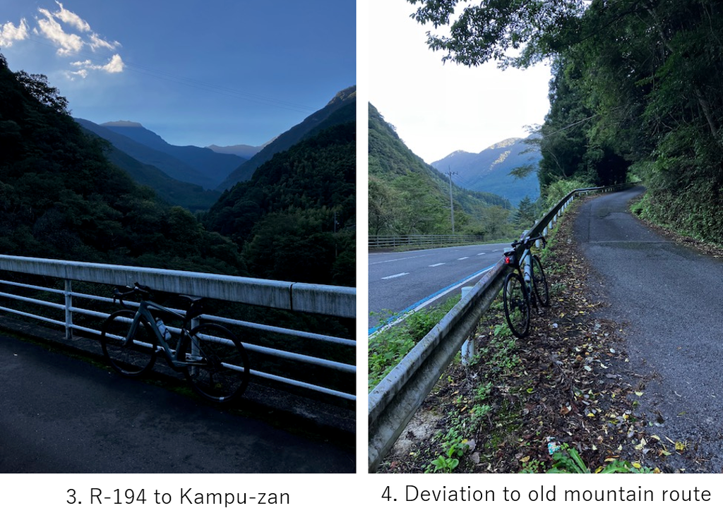
The angle gradually became steep around 10km point where I could see ray of sun rise on the mountains(pic.3). First main deviation point was just before R-194 Kampuzan tunnel(pic.4), but surprisingly I had already spent 1.5hrs to reach this point. The angle had already exceeded Ave.5° and I was afraid much steeper road would start.
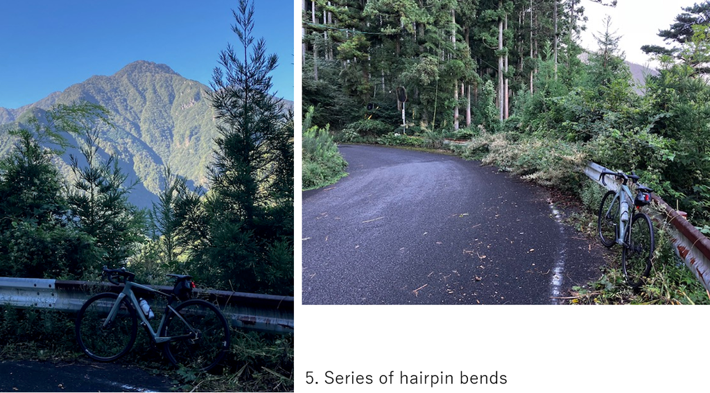
As I anticipated, the road became much steeper. I felt I always saw 6-10° on my cycle computer. What was fortune at least was that it was cool, sometimes I could see spectacular mountain views(pic.5) and there was no fear about bears in Shikoku island.
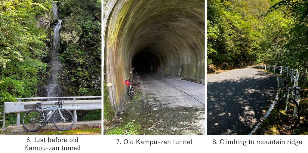
After 3hrs from the start, I could reach the old Kampu-zan tunnel entrance(pic.7) which I had thought the peak of toughness and expected relatively flat slope from that point. But it was completely wrong idea. First of all I had already drunk up my bottle water. At the end of the tunnel, there was a cafe shop according to the map but it was closed, so I could not refill my bottle. And toward UFO line, much steeper slope started(pic.8).
In the beginning of 30km, I had already climbed over 1000m, so I’ve already exhausted. I had to stop many times on the slope. Many bikes and cars passed by me..
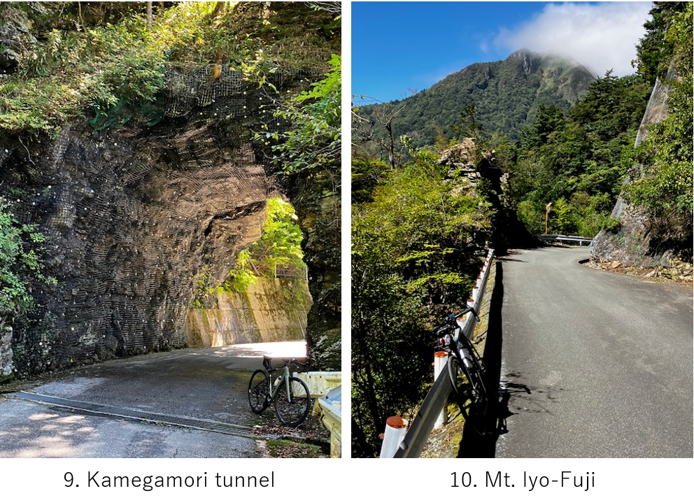
I’d thought next peak would be Kamegamori tunnel. When I came there, a slight down road could be seen and the landscape changed from forest to high mountain scine(pic.10). I expected a flat mountain ridge road but still I had to climb over 100m.
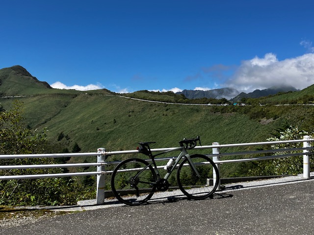
Finally I came to the famous UFO line's highlight scine(pic.11). Thanks to a good weather, I could clearly see the UFO line on the ridge, which most of cyclists want to see. Of course I was excited but already too much exhausted. I didn’t want any slight slope anymore. But still the peak was over 5km ahead.
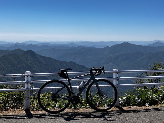
From this point, a spectacular mountains view toward south. I could not see Pacific ocean this day but it was very beautiful cleaer sky. The time was AM11:30, so I ate a simple food but without water.. It was a fatal mistake for me not to bring second water bottle.
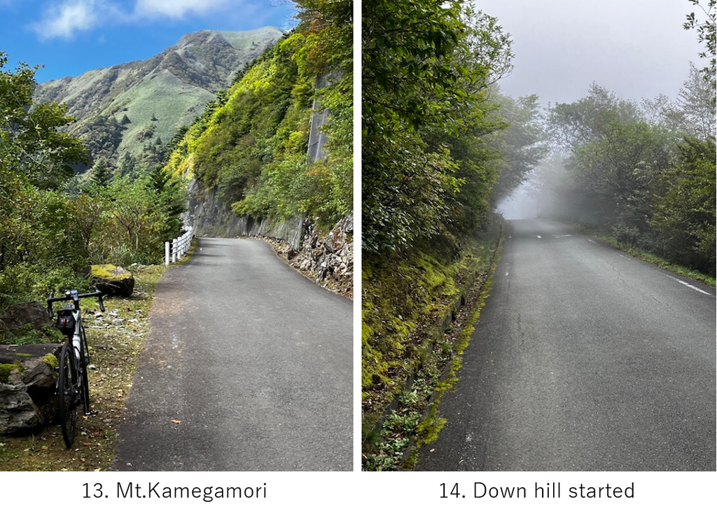
Still I bore up hill slope though it was not so steep for 30min since I stopped many times due to lack of water, exhaustion. Scine was very nice(pic.13). Then finally after hitting altitude 1620m, down hill started. Since the road ran on the north side of the ridge, the north wind brought fog(pic.14). It was comfortable but the long steep down hill caused numbness in my figures.
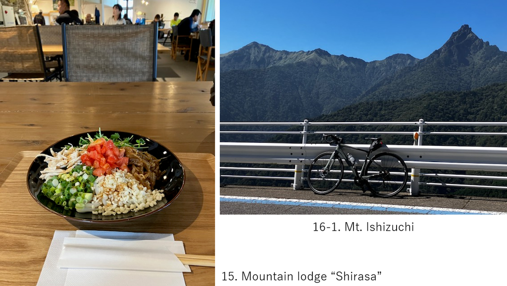
I’d not expected any restaurant before Tsuchi koya terrace, at 10km from the peak but I found a small lodge who served lunch in the middle. What a relief !! It was very comfy space. I drank much water and ate noodle(pic.15). Due to fatigue, I didn’t want to eat heavy lunch.
After 40min rest, I resumed cycling since I knew 2nd hill climbing was waiting for me. I’d already spent too much time before coming this point. After passing Tsuchi koya area (big parking space which served foods and souvenirs) and some distance of down hill, suddenly Mt.Ishizuchi appeared in front of me(pic.16).
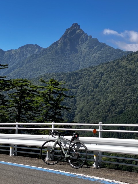
Soon I could realize this was the most popular and highest mountain in Shikoku island.
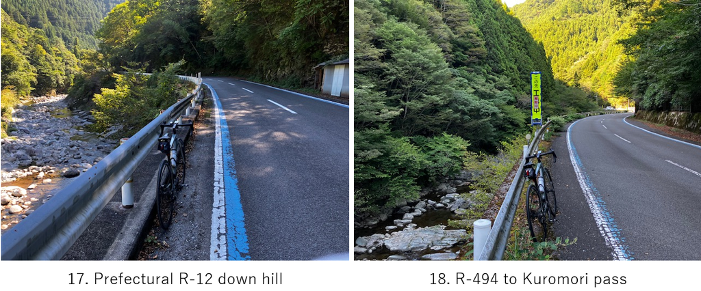
After seeing Mt.Ishizuchi, there was a long boring down hill. Gradually inhabited area appeared along the river(pic.17). The next deviation point was the cross of prefectural R-12 and R-494. Soon after changing to R-494, the up hill started toward Kuromori pass, 17km ahead and 500m climbing which was completely a hell for me.
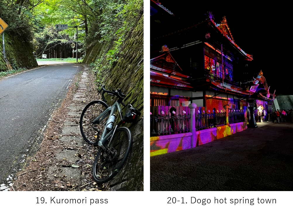
The last approach to the pass was again very steep and I stopped many times again. So when I came to Kuromori pass, I felt I finally survived in this tough cycling trip since I believed there was only down hill ahead. As I expected, only down hill brought me to R-11, which I cycled the previous day. I wanted to get on a taxi from a final railway station but unlike Tokyo, there was no taxi, nor taxi area. So I had to continue cycling further 15km to the hotel.
It was already 18:00 when I was cycling on R-11 in the city. Over 12hrs passed after start. I booked a hotel with a hot spring 3months ago. Dogo hot spring is very popular,so it’s difficult to book one at last minute.
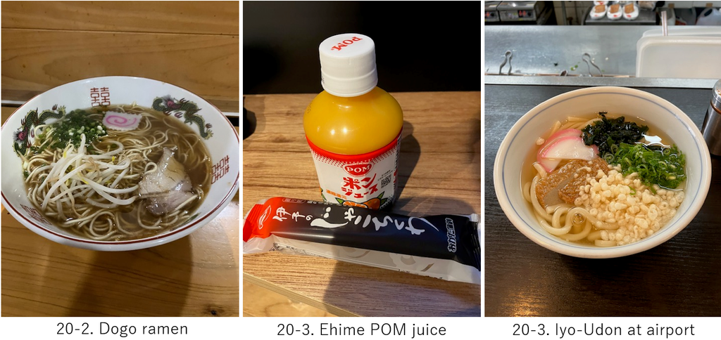
After check-in, I went to the hot spring in the hotel first and healed my body. I’d wanted to enjoy many foods of Doso, Ehime prefecture’s cuisine before coming to this trip but due to too much exhaustion, I didn’t want to eat anything honestly. What I just wanted to eat was salty ramen(pic.20-2). Fortunately there was a ramen shop near my hotel, Hyotan. Their Dogo ramen was mild salty taste. And after eating it, I bought Pom juice, typical juice of Ehime which is very famous for production of orange(pic.20-3).
The next day I took a flight at AM9:40 to Tokyo. I decomposed my bike at the airport and after check-in, I ate an Udon(noodle) which seemed special in this area, but honestly it was not so special. When I safely reached my home, though it was too tough cycling ever, I felt very satisfied since UFO line was my coveted challenge from the past.
<Transportation info>
From Matsuyama to Tokyo: AM9:40 NH584 → AM11:05 at Haneda
<Connected routes>
H-1: Shimanami sea route
H-2: Matsuyama to Saijo